AIRD'ECO-Drone
Aerial imaging, LiDAR, Topography.
Travel throughout France and abroad (by appointment)
Established in 2005
We have been successfully accompanying our clients for nearly 20 years.
10 years of experience
In the branch "Drones - Aerial work
Services
AIRD'ECO-Drone:
Topography
AN AGILE AND EFFICIENT STRUCTURE
We offer land surveying solutions: topographic plans, 3D models, DTM, DSM, orthophotographs...
Offer
A MULTISENSOR GLOBAL OFFER
Serving your technical studies: LiDAR, thermal and multispectral imaging, photogrammetry, aerial photography and videography
Post-processing
PROFICIENCY IN POST-PROCESSING AND GEOMATICS
Production and interpretation of topographic/ cartographic data compatible with GIS, CAD, and CAD...

Services
Lidar Topography
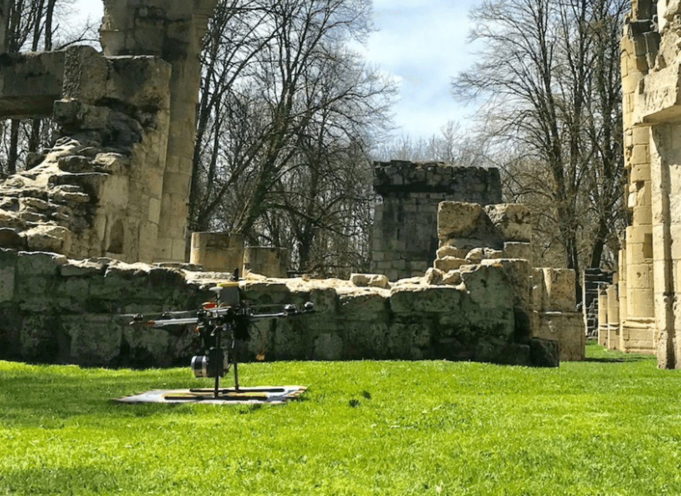
Our core business: the measurement of microtopography and its modeling thanks to LiDAR surveying and multisensor airborne geophysical techniques.
From a few hectares to several hundreds of hectares, our LiDAR sensors provide reliable and centimetric data for numerous applications: archaeology, heritage preservation, urban planning, environmental studies, land development, storage sites, linear infrastructure, wind and solar projects...
Our aerial solutions are suitable for all types of missions and allow exploration of inaccessible areas, vertical surfaces (cliffs, facades...), and areas covered by vegetation.
Services
Geophysics and archaeology
We assist archaeologists by providing them with micro-topographic data in the form of dense point clouds, 2D Digital Elevation Models, and 3D modeling at a centimeter scale. These can be accompanied by thermal measurements targeting shallowly buried structures.
...geophysics to reveal and map traces of the past...