
Applications

PUBLIC WORKS, QUARRIES
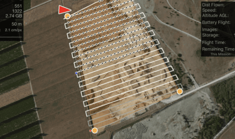
Classic surveying operations can be complemented or partially replaced by aerial surveys, either using photogrammetry or LiDAR: mapping, calculation of earthworks volumes, site monitoring, modeling.... these operations are fast and the results are compatible with your software (AutoCAD, most GIS, etc.)
ARCHITECTURE
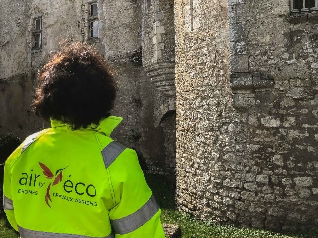
Topography, building photogrammetry, building modeling... are all elements that can be integrated into construction plans, renovations... that Aird'eco Drone, Lidar topography provider, aerial imaging and geophysics by airborne drone offers.
ENVIRONMENT
Classic surveying operations can be complemented or partially replaced by aerial surveys, either using photogrammetry or LiDAR: mapping, calculation of earthworks volumes, site monitoring, modeling.... these operations are fast and the results are compatible with your software (AutoCAD, most GIS, etc.)
ENVIRONMENT
Aird'eco Drone, provider of Lidar topography and aerial imaging solutions, offers measurements by drones that can help inspect and monitor the evolution of large areas over time: for example, monitoring coastal erosion before and after flooding.
Thermal measurements can provide information on the possible location of shallow gas pockets at storage sites, etc.
Studying forest areas with LiDAR allows for qualitative and quantitative assessment of the wooded area.


SCIENTIFIC MISSIONS
Greater precision - lower cost
Geophysical survey solutions by drones, topographic lidar and aerial imagery for
field scientific missions,
prospecting or exploration for humanitarian or environmental purposes,
are numerous and easy to implement, at low cost.
AIRD'ECO, a provider of drone solutions, is able to understand your profession and your research objectives: Solid guarantee to obtain quality, exploitable and rich data.
Our mission is to provide you with non-intrusive, accurate, geo-referenced data by carrying a sensor on (or under) a drone. This is chosen for its weight determining its area of operation and the weight it can carry. The most common is a photographic sensor or a LiDAR sensor that offers extraordinary possibilities... we can study the relevance and feasibility of carrying other less conventional sensors, in partnership with a drone manufacturer close to us.