Archaeology
THERMAL AND LIDAR ARCHAEOLOGICAL MAPPING, AERIAL IMAGERY
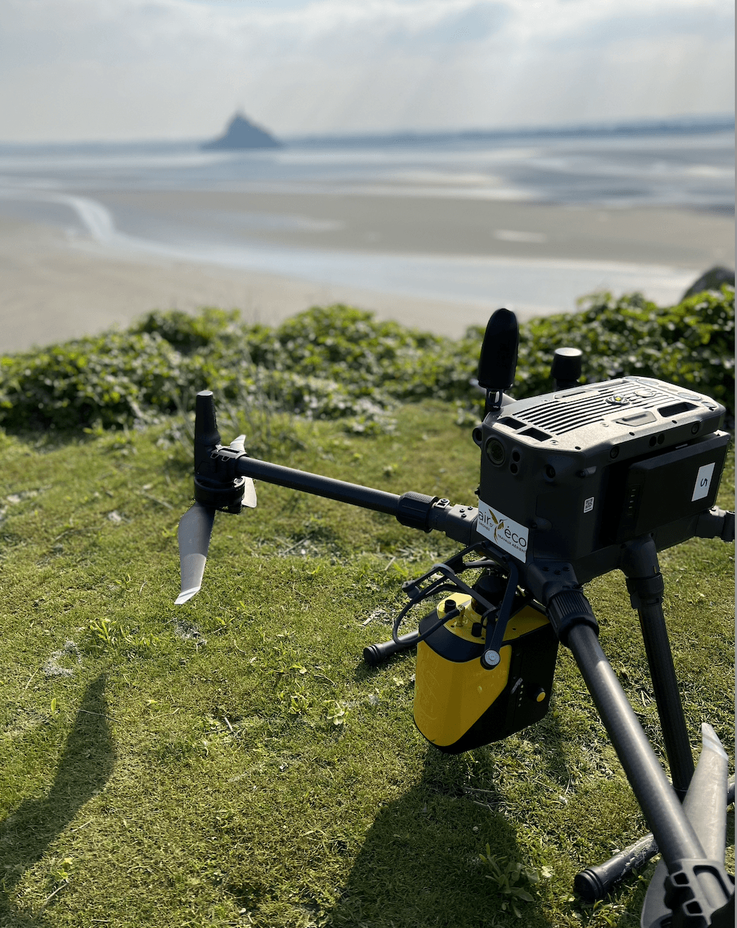
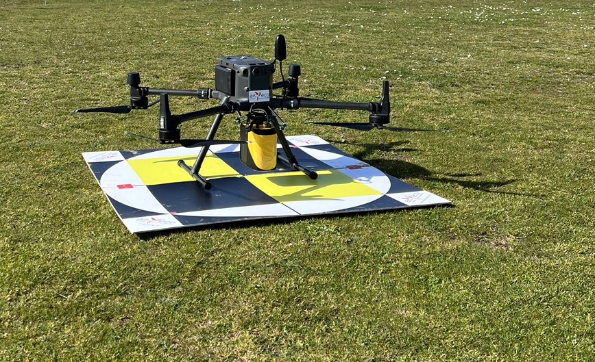
AIRD'ECO provider of solutions in Lidar topography, airborne geophysics, and drone aerial imaging offers you:
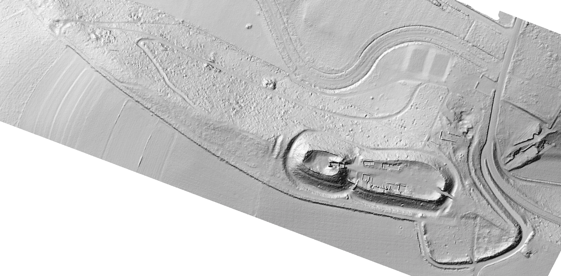
Microtopography and search for buried structures and artifacts, modeling of metric remains and buildings.
The invisible and the possible.
All 'mapping' and 3D model applications are often essential on an excavation site to establish plans, model discoveries, detect artifacts over large areas, and guide research...
- Field mapping, orthophoto
- Raw or classified point cloud
- 3D modeling, resin model printing
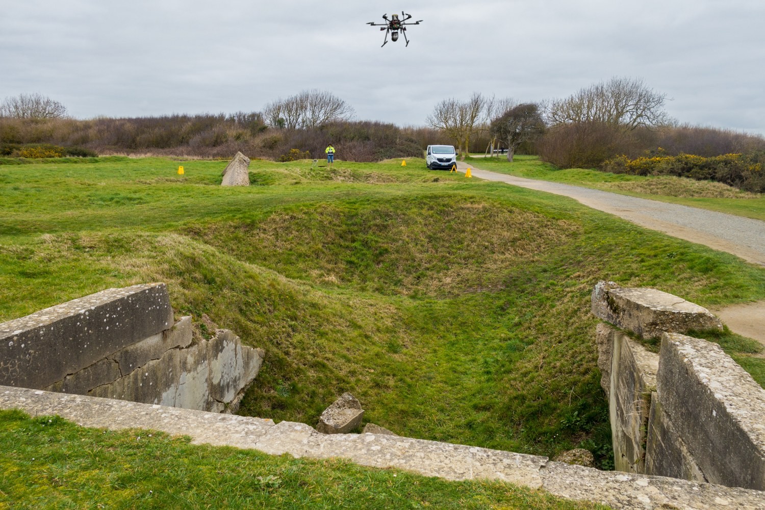
- Monument inspections
- Multimedia enhancement of discoveries and work through animated 3D model sequences, video scriptwriter sequences combining interviews, numerical results, topographic documents, animations...