Media coverage of scientific materials
LIDAR TOPOGRAPHY AND AERIAL IMAGERY BY DRONE, TOPOGRAPHY AND LIDAR ARCHAEOLOGY
AIRD'ECO service provider in drone solutions, LiDAR topography and aerial imaging accompanies you in the mediatization of scientific media.
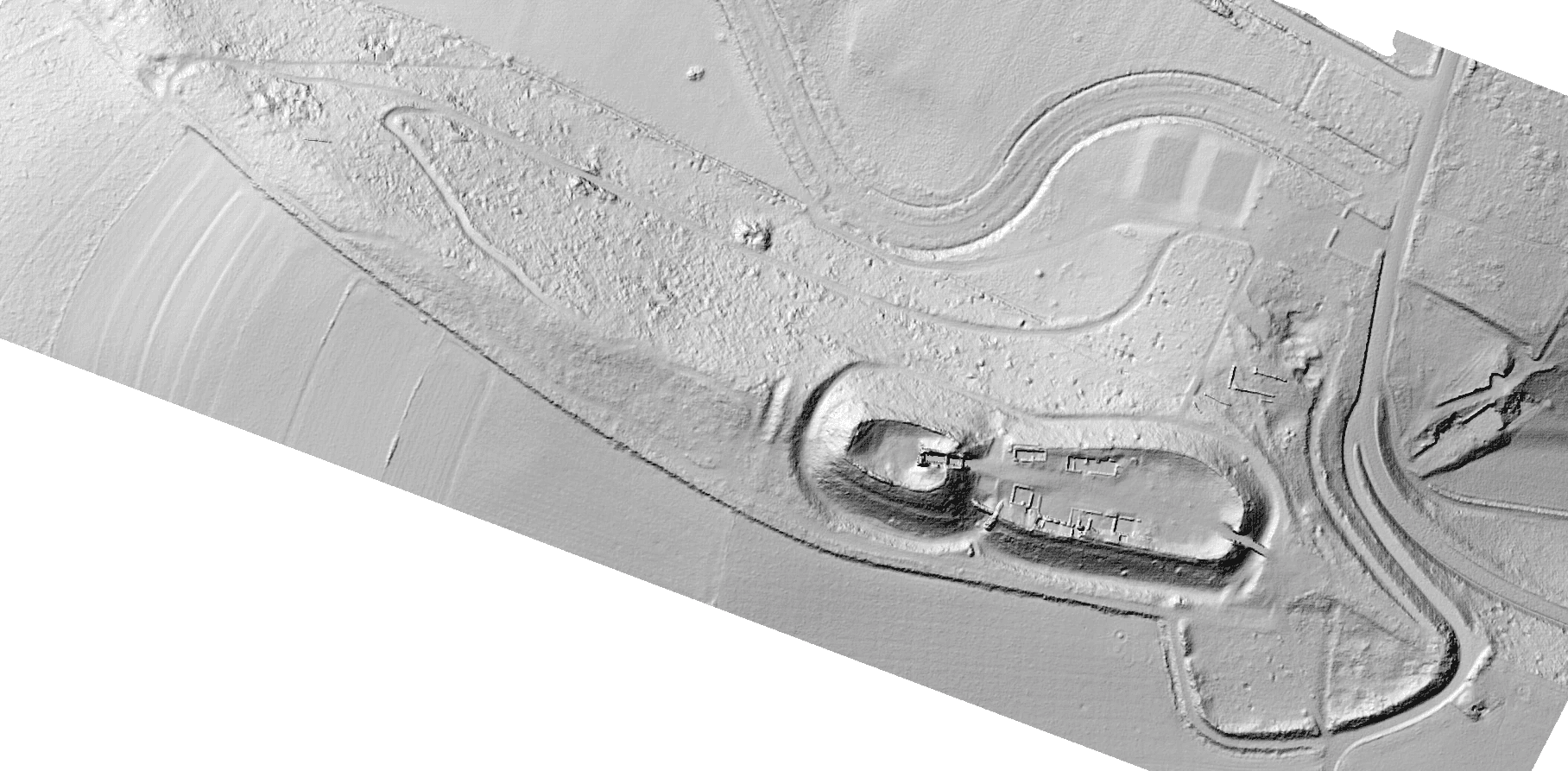
Because surveys provide very visual documents after interpretation, it is interesting to bring them together to make them understandable for various project participants or the general public...
Mediatization:
In production:
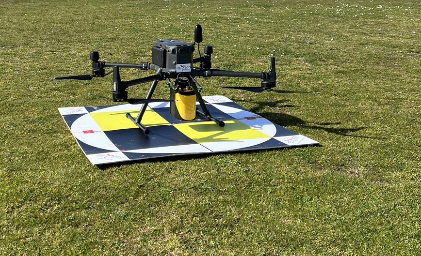
- Drone shooting (photo & video).
- Field reporting (photo & video).
- On-site interview in situation (video).
In post-production:
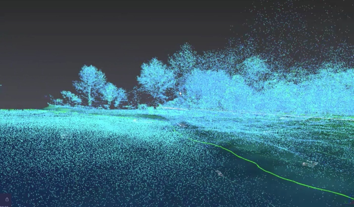
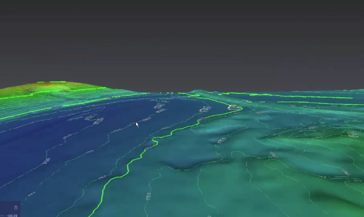
- Capture of animated video sequences on analysis and processing software (YS LiveStation, Cloud Compare, etc.),
- Export of pre-calculated video sequences in flying camera mode (3D Reshaper, etc.),
- Exportable 3D source animations (After Effect, 3DS studio,...)
- Production/editing of video advertorials.