Lidar Topography - Drone
LIDAR TOPOGRAPHY AND AERIAL IMAGING BY DRONE, AIRDECO DRONE - AERIAL IMAGING
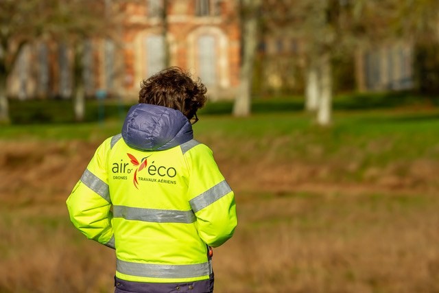
AIRD'ECO at the forefront of technology!
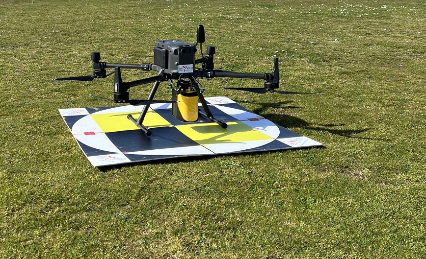
AIRD'ECO aerial geophysics provider by drone, LiDAR topography, and aerial imaging, is able to offer the entire chain from measurement to interpretation of LiDAR data embedded under drone. We have chosen the technology and expertise of the company YELLOWSCAN, our partner, with the SURVEYOR sensor.
This LiDAR sensor is suitable for any application where topography or even micro-topography are required: mapping, estimating vegetation cover, precise volume calculations (excavation, stocks, slopes, etc.), modeling of sites or monuments, buildings, etc., similar to photogrammetry. The main difference with the latter is the ability to penetrate vegetation, allowing observation inside the vegetation cover (depending on its density) and below (ground).
> Point cloud: visualization on the ground and at the client's location (possible free software)
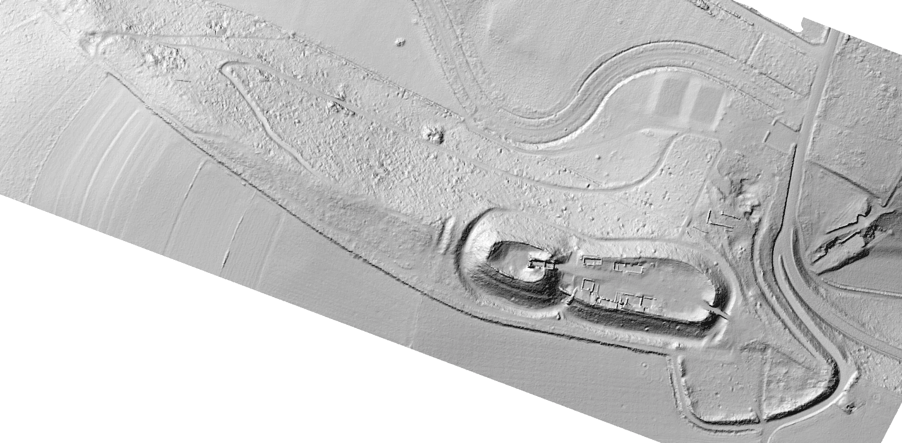
> DTM, DSM, 3D Model (GIS and free 3D viewer)
> Sections, volume calculations, density maps, contour lines...
> 3D model resin printing
The raw point cloud can be visualized immediately after each flight; it is also possible to visualize it live during the drone flight (