Counseling and support
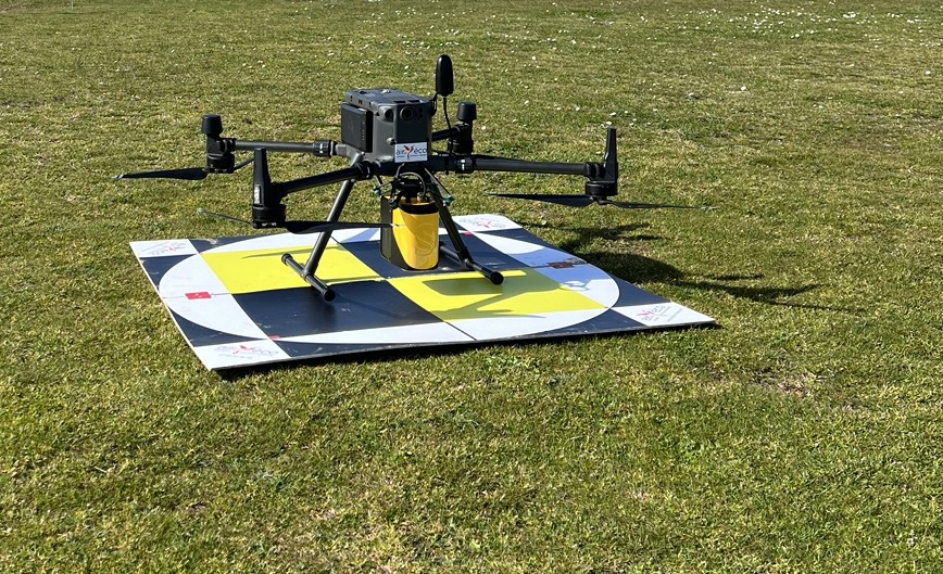
LIDAR TOPOGRAPHY AND AERIAL IMAGING BY DRONE, AERIAL IMAGING
Synergies between specialists
AIRD'ECO supports you in your Lidar topography and/or aerial imagery by drone projects.
Completed projects in 3 collaborative phases :
1- Identification of needs and means to be adopted,
2- Data acquisition, link with other stakeholders if necessary (surveyor...)
3- Data processing according to the demand and its complexity/specificity: internally and/or with specialized service providers.
Many applications :
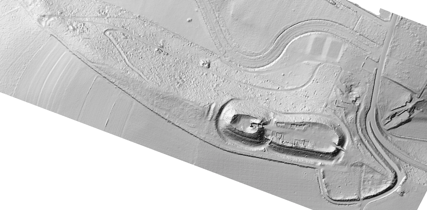
Topography
Mapping/modeling of natural terrains, ongoing construction sites, quarries...
Mapping of cracks and monitoring of structures or facades, damage assessments.
Detailed inspections/mapping: facades, hard-to-reach areas, chimneys, roofs, etc.
Search for archaeological artifacts and site modeling
Coastal erosion monitoring